
This table lists significant places and institutions named after Charles Joseph La Trobe or his family.
| Site/Item | Location | Image | Description |
| Melbourne | click picture to enlarge | ||
| Agnes Street | East Melbourne Street View View Map |
 |
Named after La Trobe’s eldest daughter, Agnes. This area of East Melbourne was formerly known as Jolimont. |
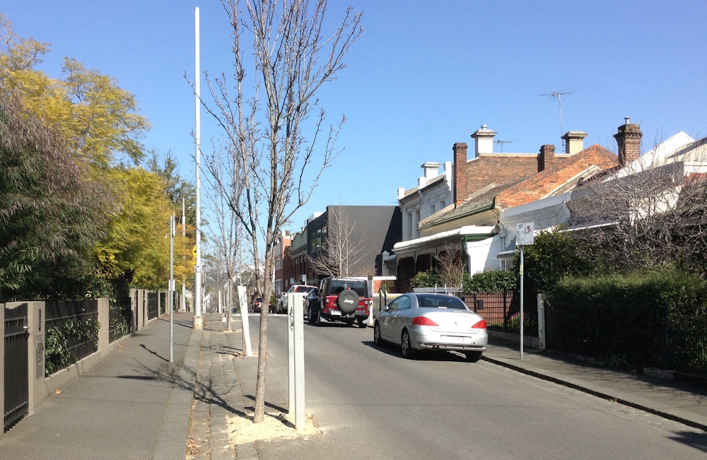
| Charles Street |
East Melbourne Street View View Map |
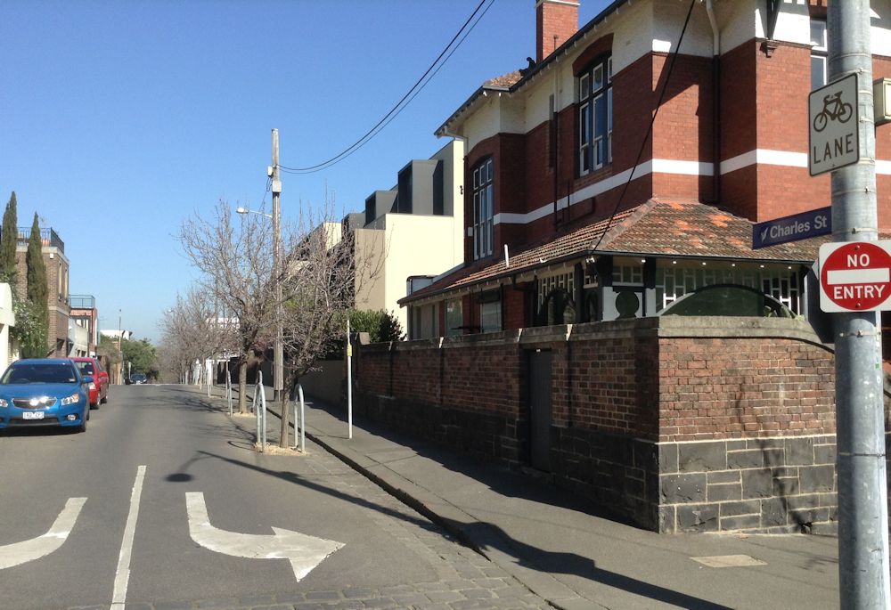 |
Named after La Trobe’s only son Charles Albert. This area of East Melbourne was formerly known as Jolimont. |
| Jolimont Lane
|
EastMelbourne Street View View Map |
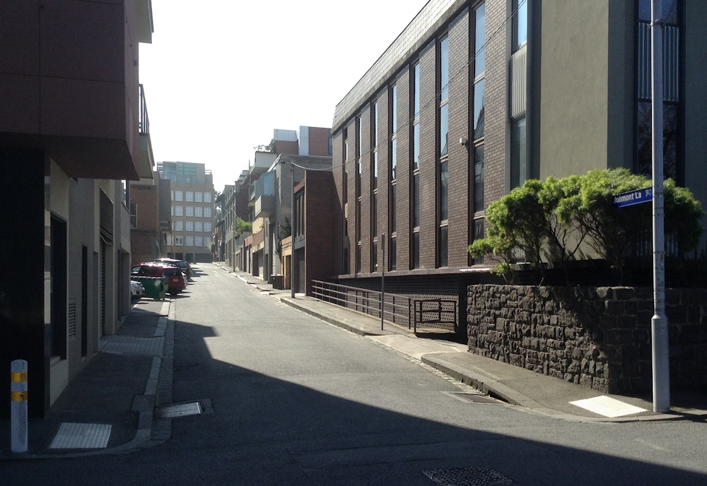 |
Named after La Trobe’s 12½ acre (5 ha.) estate ‘Jolimont’. This area of East Melbourne was formerly known as Jolimont. |
| Jolimont Railway Station | East Melbourne Street View View Map |
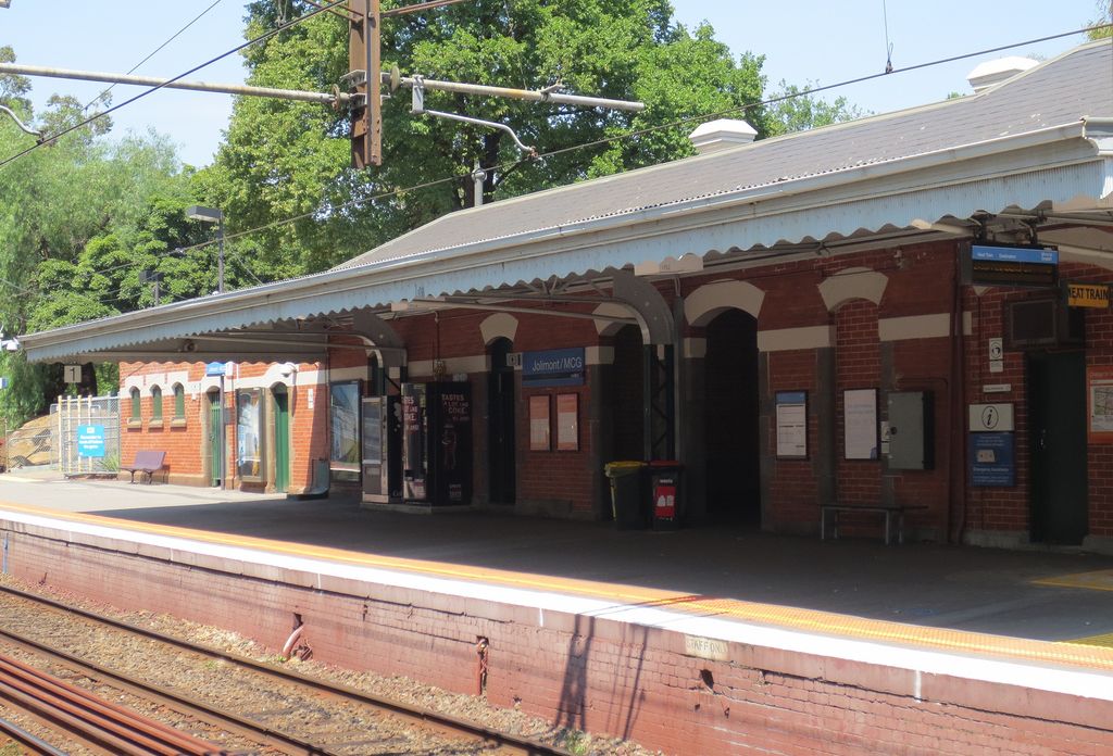 |
Named after La Trobe’s 12½ acre (5 ha.) estate ‘Jolimont’ that was located just south-west of the station, which was built in 1901. This area of East Melbourne was formerly known as Jolimont. |
| Jolimont Road |
East Melbourne Street View View Map |
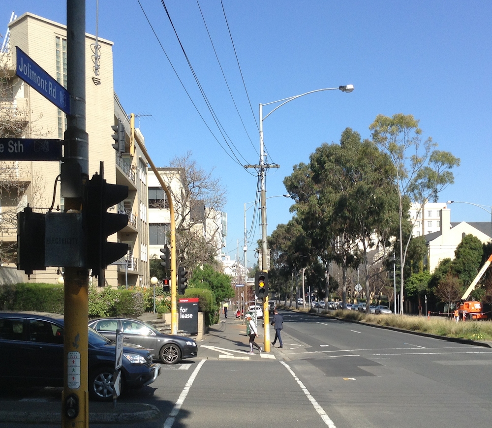 |
Named after La Trobe’s 12½ acre (5 ha.) estate ‘Jolimont’. This area of East Melbourne was formerly known as Jolimont. |
| Jolimont Street |
East Melbourne Street View View Map |
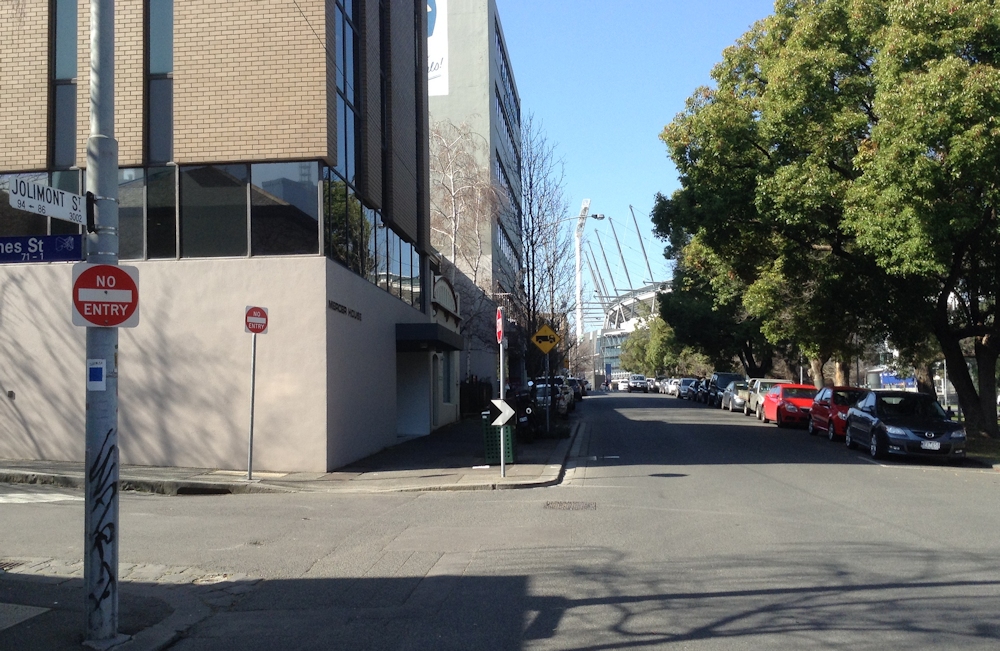 |
Named after La Trobe’s 12½ acre (5 ha.) estate ‘Jolimont’. The street was originally called Government Road. This area of East Melbourne was formerly known as Jolimont. |
| Jolimont Terrace |
East Melbourne Street View View Map |
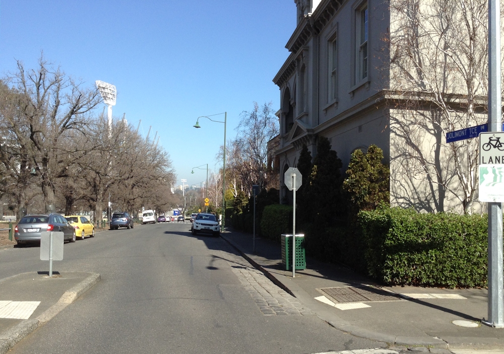 |
Named after La Trobe’s 12½ acre (5 ha.) estate ‘Jolimont’. The street was originally called La Trobe Parade. This area of East Melbourne was formerly known as Jolimont. |
| Latrobe Avenue |
Alphington Street View View Map |
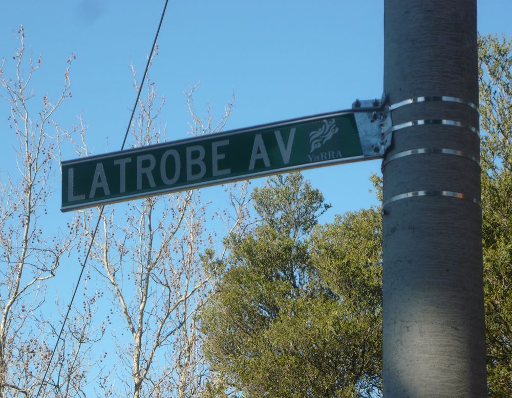 |
Early landowners in this area in 1840 included Godfrey and Richard Howitt, close friends of La Trobe. The street was created in 1939 and named Latrobe Avenue in 1940. |
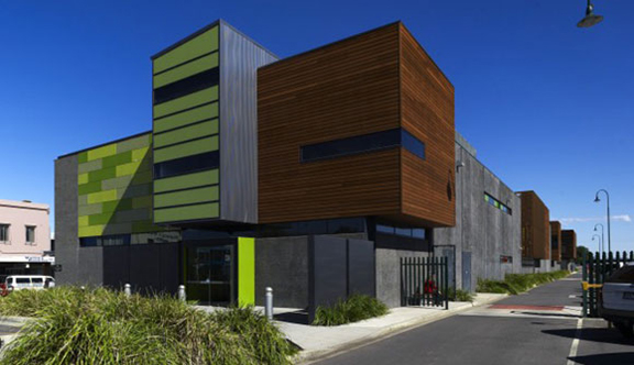
| Charles La Trobe College
|
Macleod West Street View View Map |
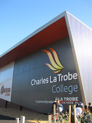 |
Founded in 2011 with the main campus being on the site of the former Latrobe Secondary College. |
| La Trobe, Division of Metropolitan Melbourne Electorate |
Electorate |  |
Located in the outer eastern and southeastern suburbs of Melbourne, taking in parts of the Dandenong Ranges and areas to the east and southeast of Dandenong. Represented from 1949 to 1960 by Richard Gavin Gardiner Casey (later Baron Casey, Governor-General of Australia from 1965 to 1969). |
| Latrobe Golf Club | Alphington Street View View Map |
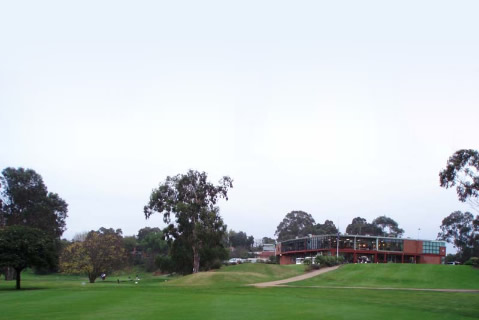 |
Founded in 1938 on land that was part of the 1840 ‘Lucerne’ estate of 70 hectares. A number of nearby streets are named after places in Switzerland, in apparent honour of La Trobe’s Swiss-born wife, Sophie. |
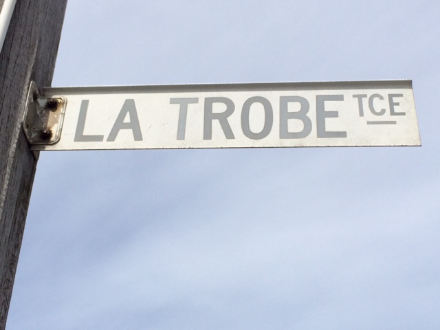
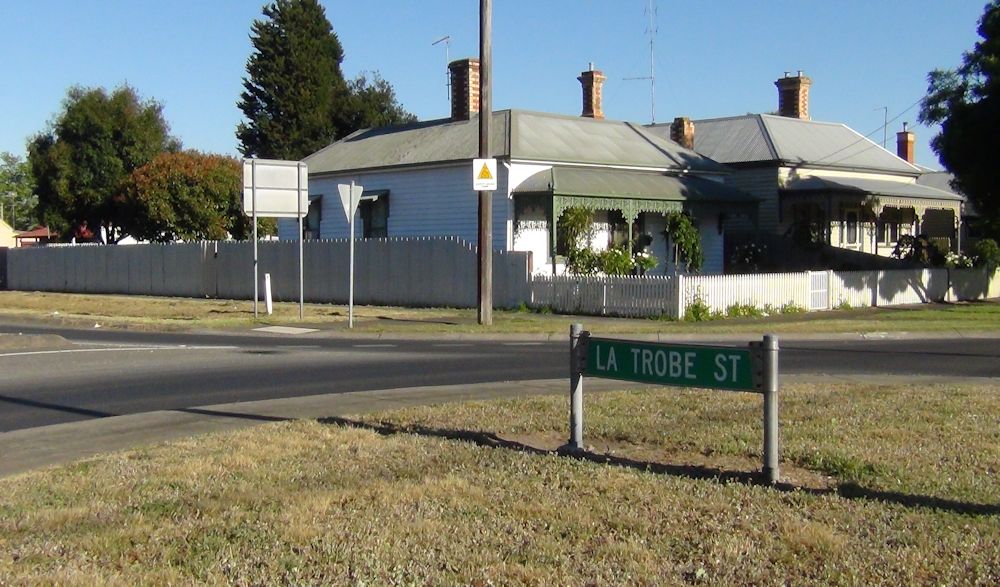
| La Trobe Street | Melbourne Street View View Map |
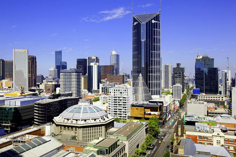 |
Created in 1839 when the fledging town of Melbourne was extended, to be bounded by Spencer, Flinders, Spring and La Trobe Streets. It was named in November of that year in honour of the newly-arrived Superintendent. Subsequently having become known as Latrobe Street, in 1966 it was renamed La Trobe Street in the Victorian Register of Geographic Names. |
| Sophie Lane | East Melbourne Street View View Map |
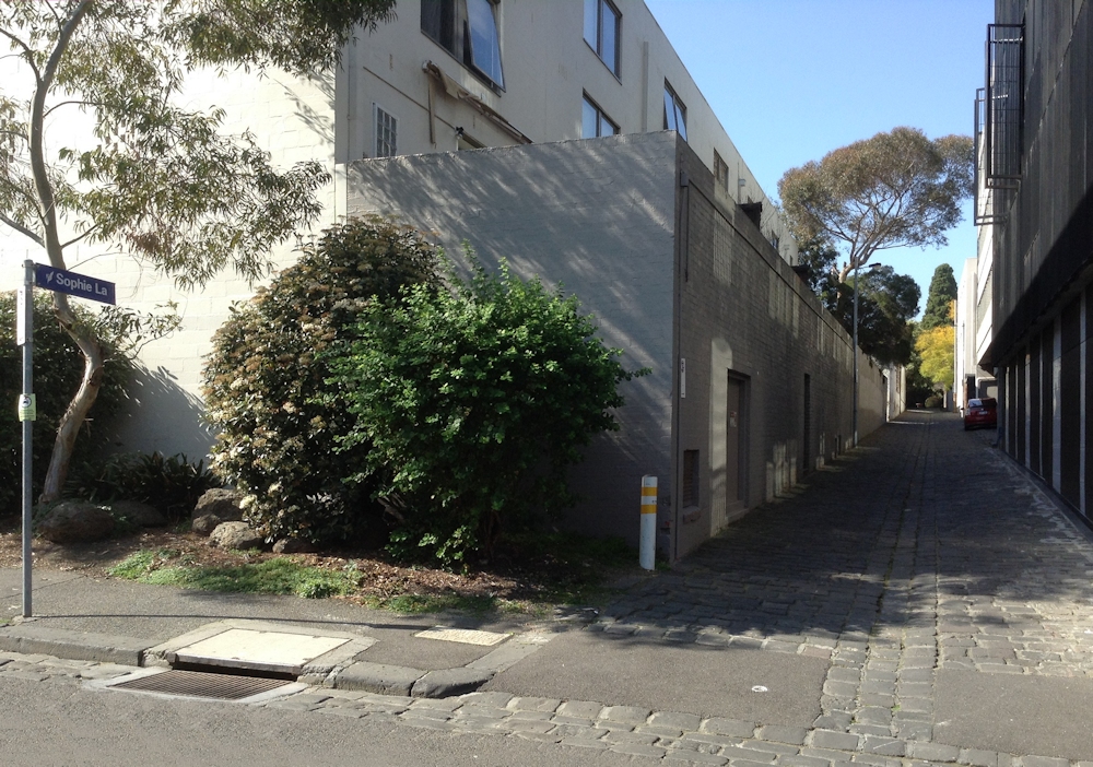 |
Named after La Trobe’s wife, Sophie; on early maps it is shown as Right of Way. This area of East Melbourne was formerly known as Jolimont. |
| Anchor | |||
| Site/Item | Location | Image | Description |
| Geelong & District | click picture to enlarge | back to top | |
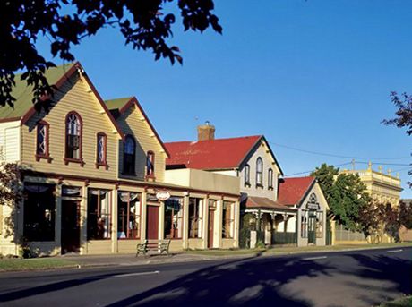
| Latrobe Terrace | Geelong Street View View Map |
 |
Created by 1851 and named La Trobe Terrace, this major road was once part of the Princes Highway. La Trobe made over 40 journeys to Geelong by steamer or on horseback, conducting official business both here and beyond, or visiting his holiday house at Shortland’s Bluff (Queenscliff). Despite the sign, for many years it has been called Latrobe Terrace. |
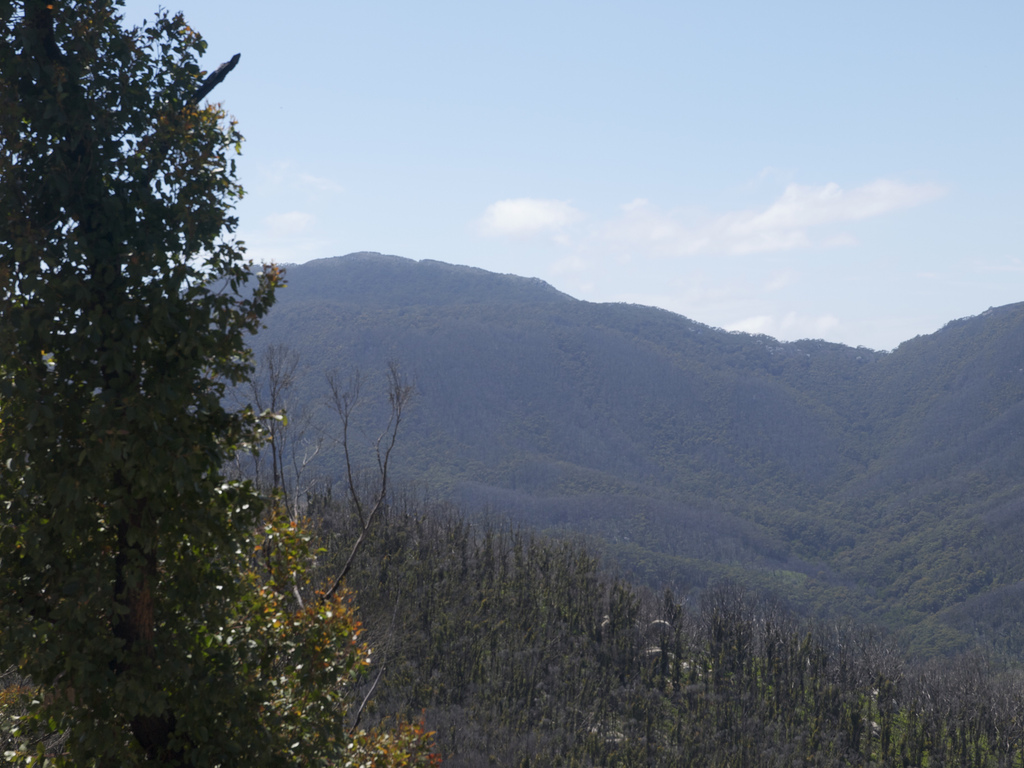
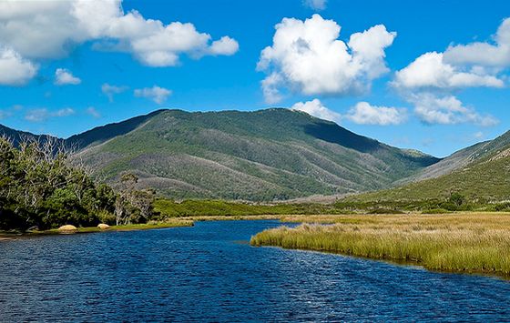
| Latrobe Bushland Reserve | Near Princetown Street View View Map |
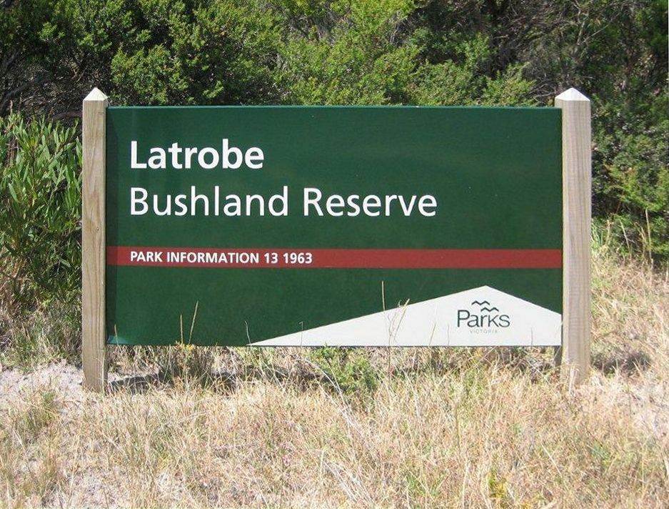 |
Located on the Great Ocean Road, 6 km east of Princetown. Supports important remnants of wet heathland and areas of damp-sands herb-rich woodland and lowland forest, 299 hectares. La Trobe personally blazed a track through the dense Otway Ranges to reach the treacherous Cape Otway on which to erect a necessary lighthouse in 1848. |
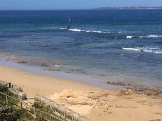
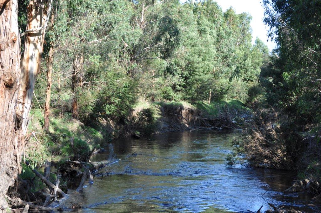
| La Trobe Creek | Near Princetown Street View View Map |
 |
The creek flows into the Gellibrand River at Princetown on the Great Ocean Road, in the Corangamite Shire. La Trobe rode through this area many times. |
| La Trobe Creek Bridge | Near Princetown Street View View Map |
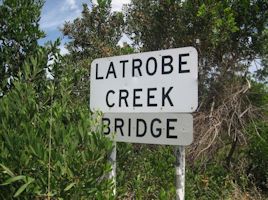 |
Crosses the La Trobe Creek at the Princetown Wildlife Reserve, known locally as the Latrobe Wetland Reserve, on the Great Ocean Road, 4-5 km east of Princetown. The Reserve contains remnants of swamp scrub and estuarine wetland. |
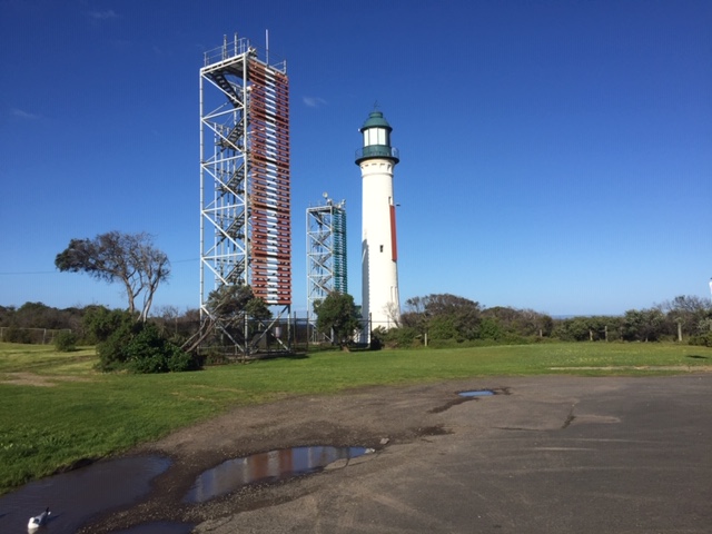
| La Trobe’s Hole Swimming hole |
Queenscliff Street View View Map |
 |
Rock-ringed basin, now largely worn away below Shortland Bluff, where La Trobe enjoyed swimming when holidaying at the Bluff. In 1864 Governor Barkly’s daughter, Blanche, escaped drowning, but her governess, Mary Jones, was not so lucky and is buried in the Point Lonsdale cemetery. Lighthouse |
| La Trobe, Parish of | Princetown and surrounds | 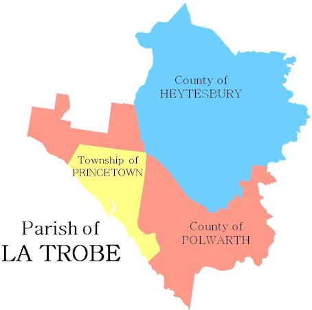 |
Part of the Shire of Corangamite, southern section, including the township of Princetown on the Great Ocean Road. Named after the La Trobe Creek. |
| Latrobe Road | Near Princetown Street View View Map |
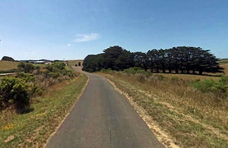 |
Local road running between Princetown and Fords Roads in the Shire of Corangamite, north of Princetown. La Trobe would have ridden through this area many times. |
| Latrobe Street | Marcus Hill Street View View Map |
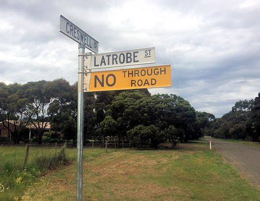 |
Small local road joining Creswell Road, near Queenscliff, originally named in the Marcus Hill subdivision, adjoining which La Trobe briefly owned land that was sold as the La Trobe dairy farms estate in 1853-4. |
| Anchor | |||
| Site/Item | Location | Image | Description |
| Gippsland | click picture to enlarge | back to top | |
| Agnes Locality |
South Gippsland Street View View Map |
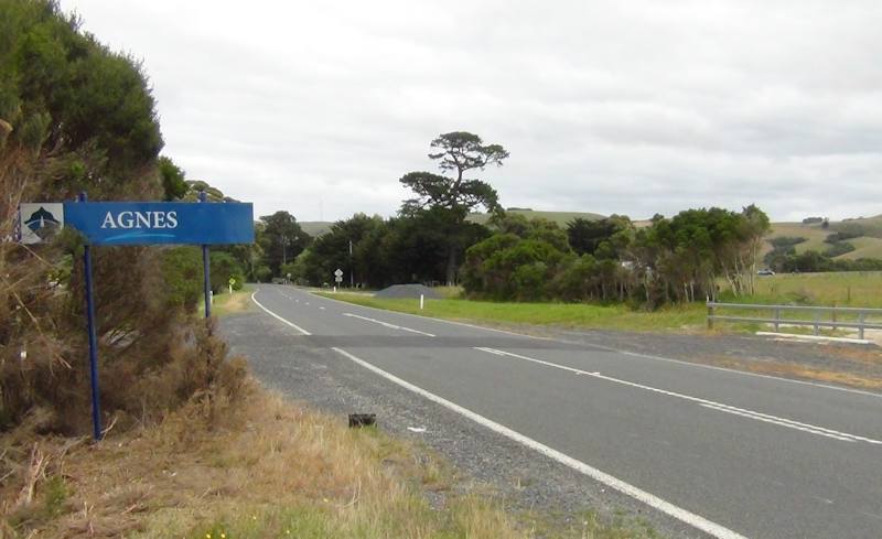 |
Located in the South Gippsland Shire, at the junction of the South Gippsland Highway and Barry Road, close to Corner Inlet. Named after La Trobe’s eldest daughter, Agnes. Its post office, railway and state school have all closed. |
| Agnes Falls Water falls |
South Gippsland Street View View Map |
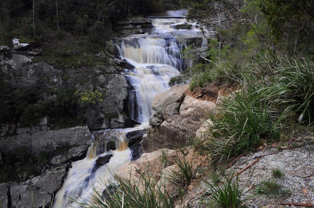 |
Located on the Agnes River 15 km north west of Welshpool, in the South Gippsland Shire; the highest waterfall in Victoria, spanning 59 metres. Named after La Trobe’s eldest daughter, Agnes. Friends of Agnes Falls |
| Agnes River | South Gippsland Street View View Map |
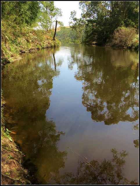 |
Rises in the southern slopes of the Strzelecki Ranges in south Gippsland, and flows into Corner Inlet. Named by La Trobe after his eldest daughter Agnes, in March 1845 during two weeks’ exploration of South Gippsland. |
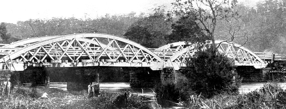
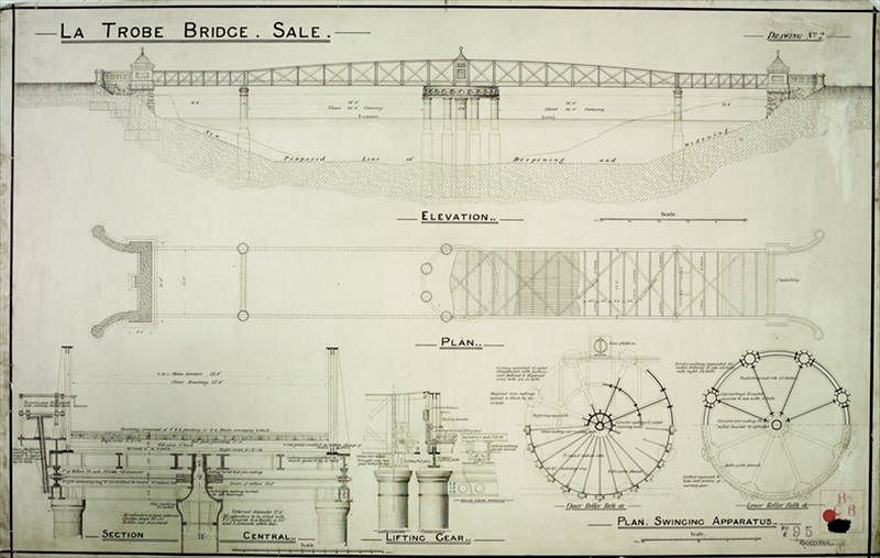
| La Trobe Bridge | Near Sale Street View View Map |
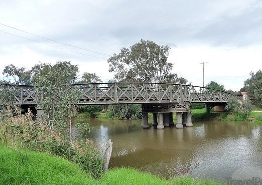 |
The historic swing bridge crosses the La Trobe River at the junction with the Thomson River 5km south of Sale. Designed by John Grainger and completed in 1883, its restoration was completed in 2006. Drawing of 1879; further information. |
| La Trobe Buoy Beacon |
Gippsland View Map |
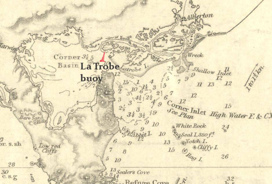 |
In Corner Inlet, off Snake Island (formerly known as La Trobe Island), near Port Welshpool. |
| Latrobe City Local government area |
Gippsland Street View View Map |
 |
Created 2 December 1994 with the amalgamation of the former cities of Moe, Morwell and Traralgon and some adjacent shire areas. Covers an area of 1,400 sq km, with a population of c.72,000. The corporate headquarters are located in Morwell, near the Latrobe Regional Gallery. |
| La Trobe [Snake] Island | Gippsland View Map |
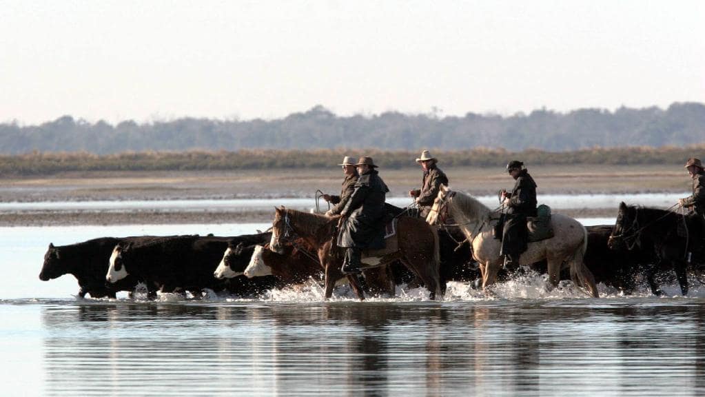 |
Sand island of 3,500 ha. in the Nooramunga Marine and Coastal Park located in Corner Inlet, off Port Welshpool. Used for both summer and winter agistment of cattle, which are driven over a narrow channel at low tide. Originally named La Trobe Island, but known locally as Snake Island; officially renamed as such in 1920s. |
| La Trobe Plain | Gippsland View Map |
 |
Located in the Baw Baw National Park, close to Mt Baw Baw – north of Moe. La Trobe made an eight-day journey of exploration into Gippsland through difficult terrain in November/December 1847. |
| La Trobe Range Mountain range |
South Gippsland Street View View Map |
 |
Runs in an east-west direction across the central part of Wilsons Promontory. To the north is wilderness, and to the south are many areas for bushwalking. |
| La Trobe River | Gippsland Street View View Map |
 |
A stream rising on the southern slopes of the Great Dividing Range, between Powelltown and Noojee, and flows into Lake Wellington, Gippsland Lakes. Named the Latrobe River by the great explorer, Strzelecki, in April 1840. In 1966 it was renamed the La Trobe River in the Victorian Register of Geographic Names. |
| La Trobe River
Picnic Area |
Gippsland Street View View Map |
 |
Located on Ada River Road, near corner with Noojee Road, Shire of Baw Baw. |
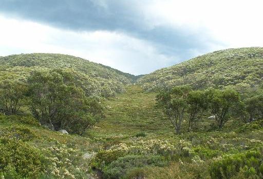
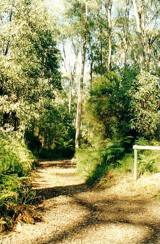
| La Trobe Trail | Mt Baw Baw View Map |
 |
Located in the Baw Baw National Park and providing a short walk, or other journey, with fine examples of snow gum woodland and views of the Latrobe Valley, Westernport Bay and the Strzelecki Ranges. The trail is 750 metres in length. |
| Latrobe Valley Region |
Gippsland View Map |
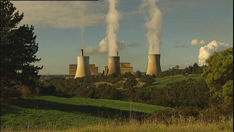 |
Named after the La Trobe River and centred around the Gippsland towns of Moe, Morwell and Traralgon. Although featuring many areas of picturesque countryside through which the river flows, the Latrobe Valley is generally associated with the thermal power industry based on extensive brown coal deposits, and with Bass Strait natural gas processing at Longford, near Sale. |
| Mount La Trobe Mountain |
South Gippsland Street View View Map |
 |
Located in the centre of Wilsons Promontory National Park. Forms part of the La Trobe Range, with a peak of 754 metres. It is composed of course-grained granite and is covered with heavy timber and dense scrub. |
| Anchor | |||
| Site/Item | Location | Image | Description |
| Mornington Peninsula | click picture to enlarge | back to top | |
| Latrobe Parade | Dromana Street View View Map |
 |
Created in the 1840s and by 1863 was named La Trobe Parade. La Trobe made many journeys on horseback to the Mornington Peninsula and to the McCrae Homestead at Arthur’s Seat. |
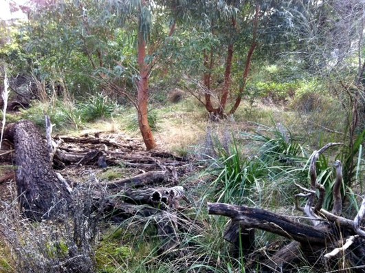
| Latrobe Parade Bushland Reserve | Dromana Street View View Map |
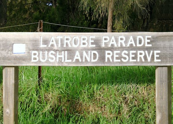 |
Small reserve bounded by Latrobe Parade, McArthur, Clarendon and Stawell Streets, adjacent to La Trobe Reserve. |
| La Trobe Reserve | Dromana Street View View Map |
 |
Crown land reserve of 13½ hectares, created in 1975, and running parallel to the Port Phillip Bay coast between Point Nepean Road and Latrobe Parade. Managed by the Dromana Foreshore Committee of Management, employing the Bradley method of natural regeneration of bushland. |
| La Trobe Scenic Walkway and Link | Dromana Street View View Map |
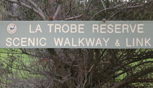 |
The pathway climbs through the La Trobe Reserve, with its unique remnants of Peninsula bushland, between Point Nepean Road and Latrobe Parade. A Federation Project completed in 2001. |
| Anchor | |||
| Site/Item | Location | Image | Description |
| Other Places | click picture to enlarge | back to top | |
| La Trobe Street | Ballarat (Redan) Street View View Map |
 |
Created 1867/68. La Trobe made five journeys on horseback to Ballarat in 18 months, from 1851-1853, during the gold rushes. |
| La Trobe University | Victoria Street View View Map |
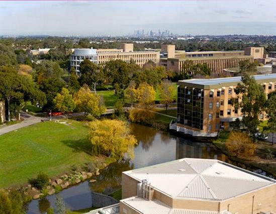 |
Founded at Bundoora, in Melbourne’s north-east, in 1967; now a multi-campus university focused on excellence and innovation in relation to the big issues of our time. Regional campuses are located at Bendigo, Mildura, Shepparton and Wodonga. |
| La Trobe Settlement |
Victoria View Map |
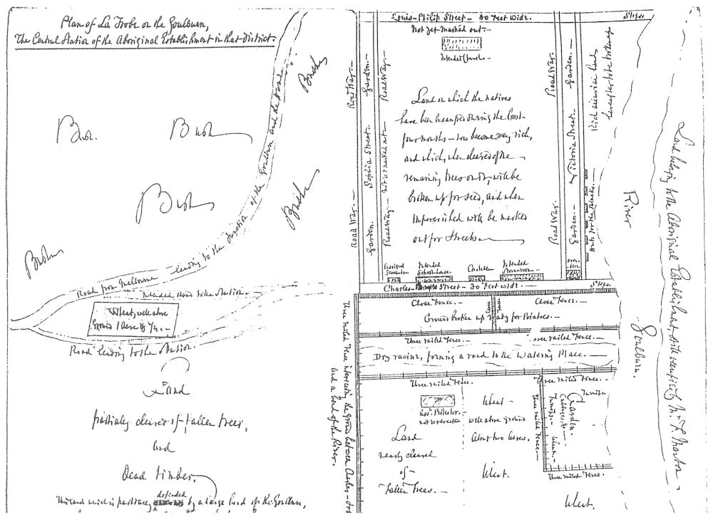 |
Central station of the Aboriginal establishment for the Goulburn River District, designed in 1840 by William Le Souëf, Assistant Protector of Aborigines of that District. The name was short-lived. Site of present-day Murchison, founded 1854. |
| Latrobe Town |
Tasmania Street View View Map |
 |
Located 10 km southeast of Devonport, on the Mersey River, population c.3,000. La Trobe was Lieutenant-Governor of Van Diemen’s Land from October 1846 to February 1847. The town was named after him in 1861. |
| Latrobe Bridge | Latrobe, Tasmania Street View View Map |
 |
Railway bridge that crossed the Mersey River at Bells Parade, Latrobe, about 10 km southeast of Devonport. DEMOLISHED in 2009, because lead paint on the bridge was considered dangerous and too expensive to fix. |
| Latrobe Terrace | Paddington, Queensland Street View View Map |
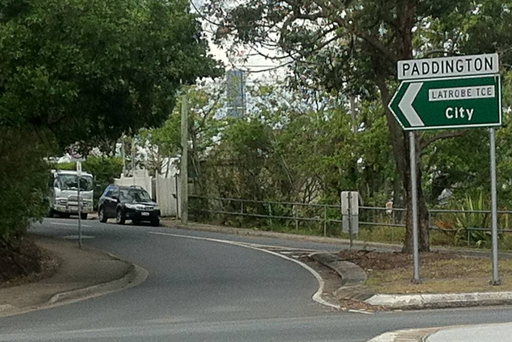 |
Created in 1878 when the Latrobe Estate, with commanding views of Brisbane and its suburbs, was offered for sale. The very steep and hilly estate was thought to have been named after C J La Trobe. |
| LatrobeCity | Pennsylvania, USA Street View View Map |
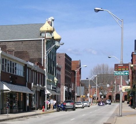 |
Located 65 km southeast of Pittsburgh, population c.8,000. Borough founded 1854 and named after civil engineer Benjamin Latrobe, cousin of C J La Trobe and son of Benjamin Henry Latrobe, the renowned American architect. |
Compiled by Helen Armstrong, presentation by John Botham
Comments and pictures to info09@latrobesociety.org.au
| La Trobe Place Names |
| The major contribution of Charles Joseph La Trobe to Australian history, especially the history of Victoria, and to a lesser extent Tasmania, is acknowledged in the proliferation of place names in his honour. His name, which he spelled ‘La Trobe’, is used interchangeably with the other form of the name, ‘Latrobe’. However, the Registrar of Geographic Names, the official body responsible for geographic names in the State, has decreed that places named after Charles Joseph La Trobe should be spelled ‘La Trobe’. For instance two well-known places, the La Trobe River and La Trobe Street in Melbourne, had their names changed in 1966. Nevertheless, many other places remain as ‘Latrobe’, as may be seen in the official register of geographic names, VICNAMES – or elsewhere. |